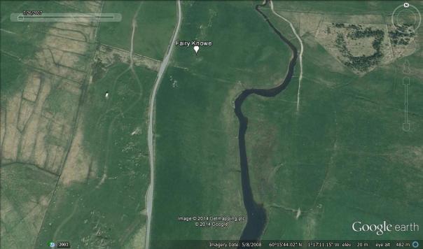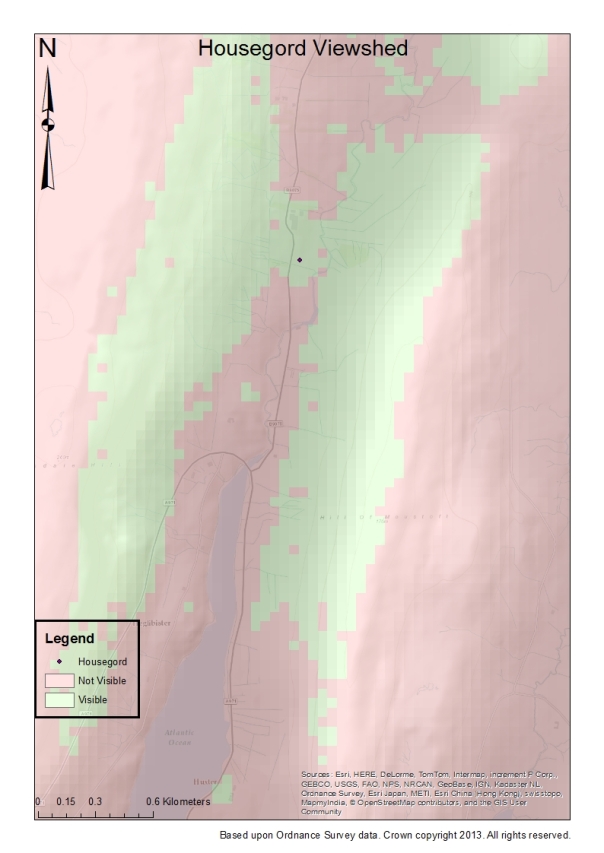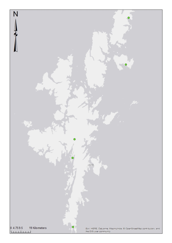
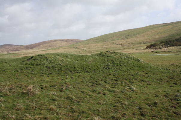
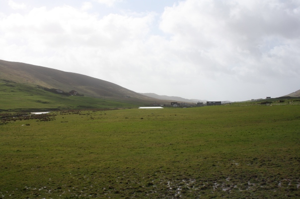
A prominent mound (now crescent shaped) made of small stones. A Bronze Age urn with cremated bones was discovered in the mound in 1862/3, above which was found a blue glass bead striped with white and a perforated sandstone whetstone. This is an example of the re-use of an ancient burial mound for a secondary Viking Age burial. The mound is in a valley on gently sloping ground overlooking the Burn of Weisdale about 100m to the east.
GPS: N 60° 15.803, W 001° 17.213
NGR: HU 3956 5345
D.D. Black, 1864-66, ‘Notice of Cairns, called ‘Fairy Knowes,’ in Shetland, recently examined’, Proceedings of the Society of Antiquaries of Scotland, 6: 324-7.
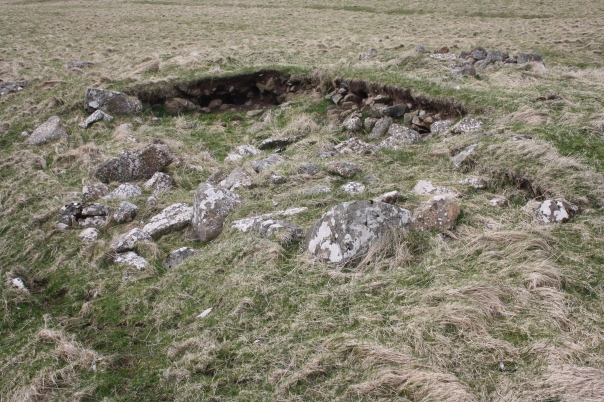
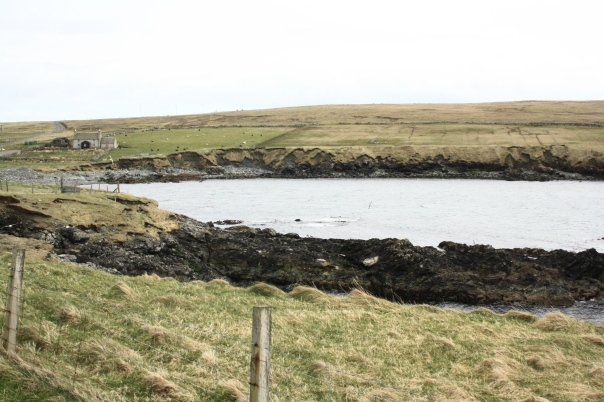
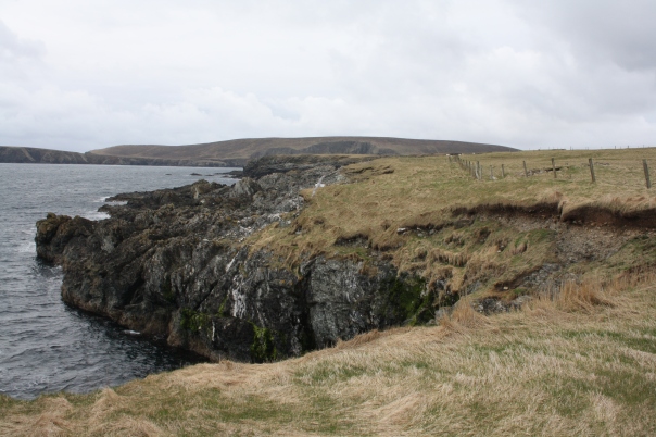
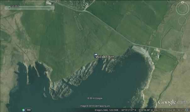
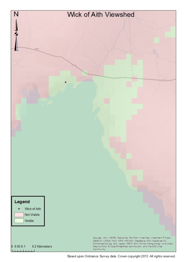
In this low mound made of stones finds including boat rivets had been found over the years, leading to a legend of it being the site of a Viking warrior burial. Excavations by Time Team in 2003 found a 9th century oval brooch (see ‘About’ page) and iron boat rivets. The brooch suggests that the burial was of a female, but no skeletal material was found. The mound is in a very elevated cliff-top position 6m from the cliff edge above dangerous rocks, with a good beaching place for boats to the east. If kept free of turf and marked the mound would have been visible to approaching boats, especially if the larger stones with white patches (photo 1), and the numerous smaller white quartz stones, were at the top of the mound.
GPS: N 60° 35.279, W 000° 50.110
NGR: HU 6391 8996
C.E. Batey, ‘Viking Burials in Scotland: Two ‘New’ Boat Burial Finds’, in V.E. Turner, O.A. Owen & D.J. Waugh (ed.), Shetland and the Viking World (Lerwick: Shetland Heritage Publications, 2016), 39-42.
http://www.fetlar.com/time_team_index.htm
Time Team, 2003 , Series 10, Episode 4.
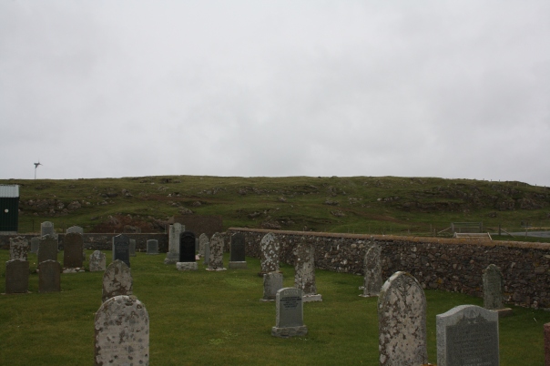
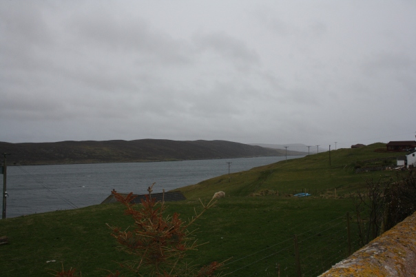
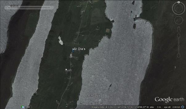
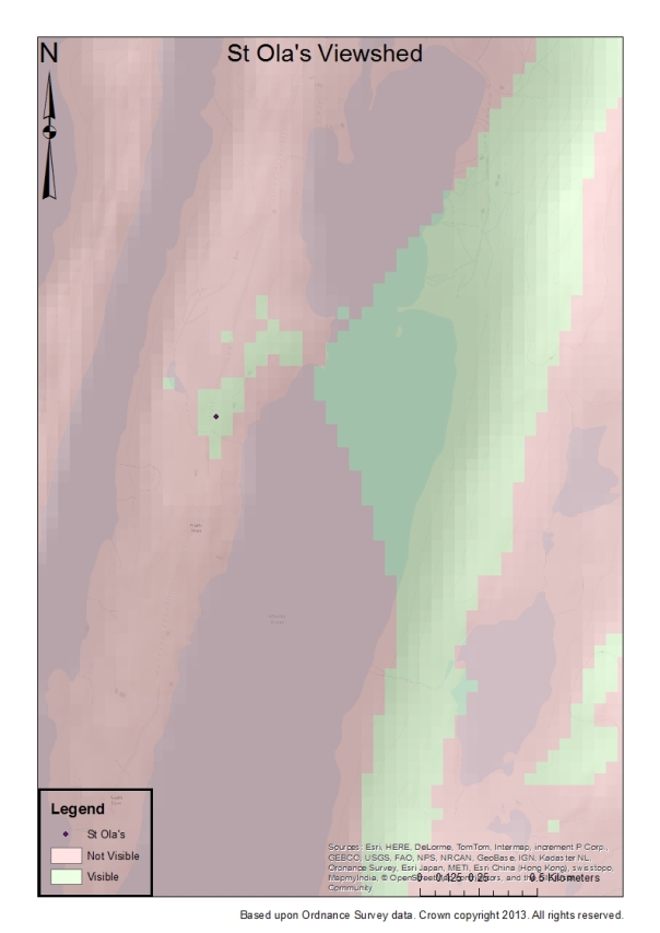
In 1938 a 9th or 10th century E-type axe head and bones were found in a slab-lined tomb in St Ola’s cemetery, Whiteness, from which 9th and 10th century Christian sculpture has also been found. The cemetery is on high ground overlooking Whiteness Voe. The exact location of the grave is not known, but it fits in the 25m category (ie. if you stood in the centre of the cemetery and drew a circle 25m around you the entire cemetery would be included).
GPS: N 60° 10.955, W 001° 18.269
NGR: HU 3866 4442
J. Graham-Campbell & C.E. Batey, 1998, Vikings in Scotland: an archaeological survey. Edinburgh, Edinburgh University Press: 64.
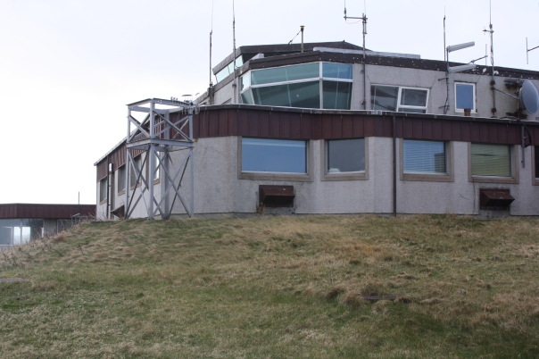
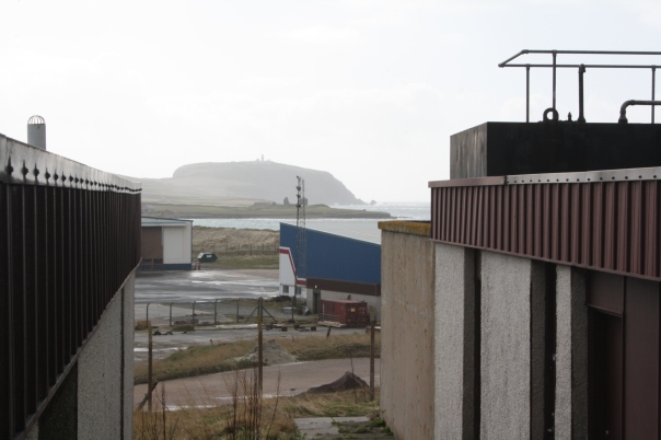
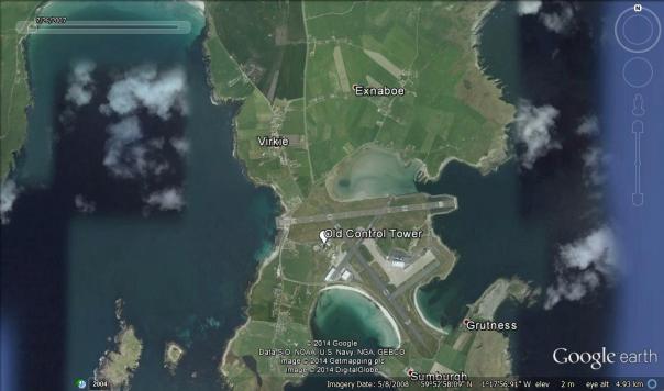
During the construction of the original control tower at Sumburgh Airport during the second world war a sword, shield, and part of a human skull were discovered. Close by was a Bronze Age cist burial marked by a boulder. The tower is on a mound/hill which has clearly been levelled, so the burial was probably somewhere near the top of this hill. Although the control tower is only 22m across, this burial is in the 100m category in case it wasn’t found when the hill was levelled, perhaps in building an access road. The site is within 300m of Old Scatness, a Pictish settlement site with evidence of Viking Age use. Water is visible to the North, East and West from the site.
GPS: N 59° 52.721, W 001° 18.027
NGR: HU 3926 1061
J. Graham-Campbell & C. Batey, 1998, Vikings in Scotland: an archaeological survey. Edinburgh, Edinburgh University Press: 64.
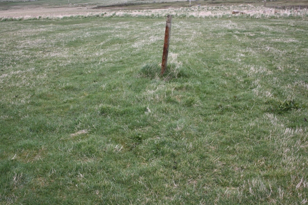
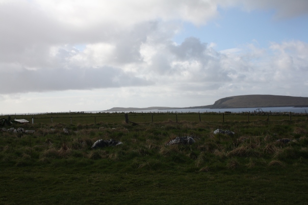
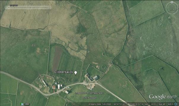
In 1863 a farmer discovered in his yard a burial including a pair of 9th C Berdal oval brooches (one repaired), a Borre trefoil brooch, Hiberno-Scandinavian silver arm-ring, and two glass beads. The site is probably in the field to the West of the present house, but the location cannot be certain to within 100m. Although the site is almost 400m from the coast, the flat terrain means that the bay Harolds Wick and the Atlantic Ocean are clearly visible.
GPS: N 60° 47.351, W 000° 48.675
NGR: HP 6482 1238
T.T. Irvine, 1863, in ‘Proceedings of the Association’, Journal of the British Archaeological Association 19: 312-14.
